Holiday Packages
All our Standard Itineraries include:
- Hand-picked accommodation in B&Bs / guest houses / inns / small hotels
- En-suite facilities where available
- Breakfast
- Daily baggage transfers from our own team of local drivers
- All booking fees
We will also endeavour to include all these in any custom itinerary you wish to build for this walk.
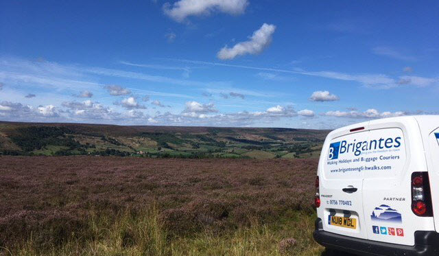
Day 1: Scarborough to Dalby Forest (14.3m)
Day 2: Dalby Forest to Levisham (7.3m)
Day 3: Levisham to Hutton le Hole (15m)
Day 4: Hutton le Hole to Helmsley (13.2m)
£715 solo walkers (plus single supplements)
£590 per person (based on two sharing)
£550 per person (based on group of 3)
£530 per person (based on group of 4 or more)
Day 1: Scarborough to Dalby Forest (14.3m)
Day 2: Dalby Forest to Cropton (16.9m)
Day 3: Cropton to Helmsley (18.6m)
£575 solo walkers (plus single supplements)
£475 per person (based on two sharing)
£445 per person (based on group of 3)
£430 per person (based on group of 4 or more)
Day 1: Scarborough to Dalby Forest (14.3m)
Day 2: Dalby Forest to Levisham (7.3m)
Day 3: Levisham to Cropton (9.6m)
Day 4: Cropton to Gillamoor (7.3m)
Day 5: Gillamoor to Helmsley (11.3m)
£820 solo walkers (plus single supplements)
£685 per person (based on two sharing)
£640 per person (based on group of 3)
£625 per person (based on group of 4 or more)
* All headline holiday prices are shown per person, based on two people sharing.
Baggage Transfer
Baggage Transfer is automatically included in the price of all our Walking Holiday packages.
These prices are for anyone planning their own holiday and just need bags moving from one stop to the next.
£250 per person (single)
£125 per person (based on two people)
£85 per person (based on group of 3)
£65 per person (based on group of 4 or more)
£200 per person (single)
£100 per person (based on two people)
£70 per person (based on group of 3)
£55 per person (based on group of 4 or more)
£270 per person (single)
£135 per person (based on two people)
£90 per person (based on group of 3)
£15 per person per day (based on group of 4 or more)
Note: If you are booking accommodation in an Airbnb, you must ensure that there will either be someone available to take collection/delivery of your bags or that they have appropriate, secure storage in the event that the proprietor is absent.